Category Archives: osm

#30DayMapChallenge as #1Day30MapsChallenge (2021)

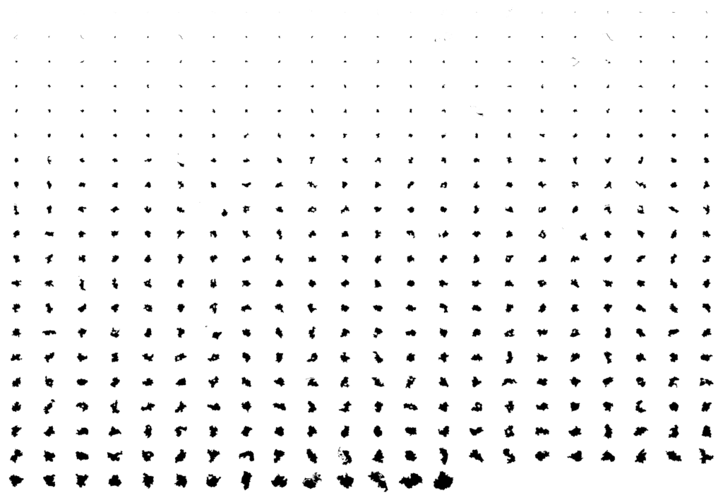
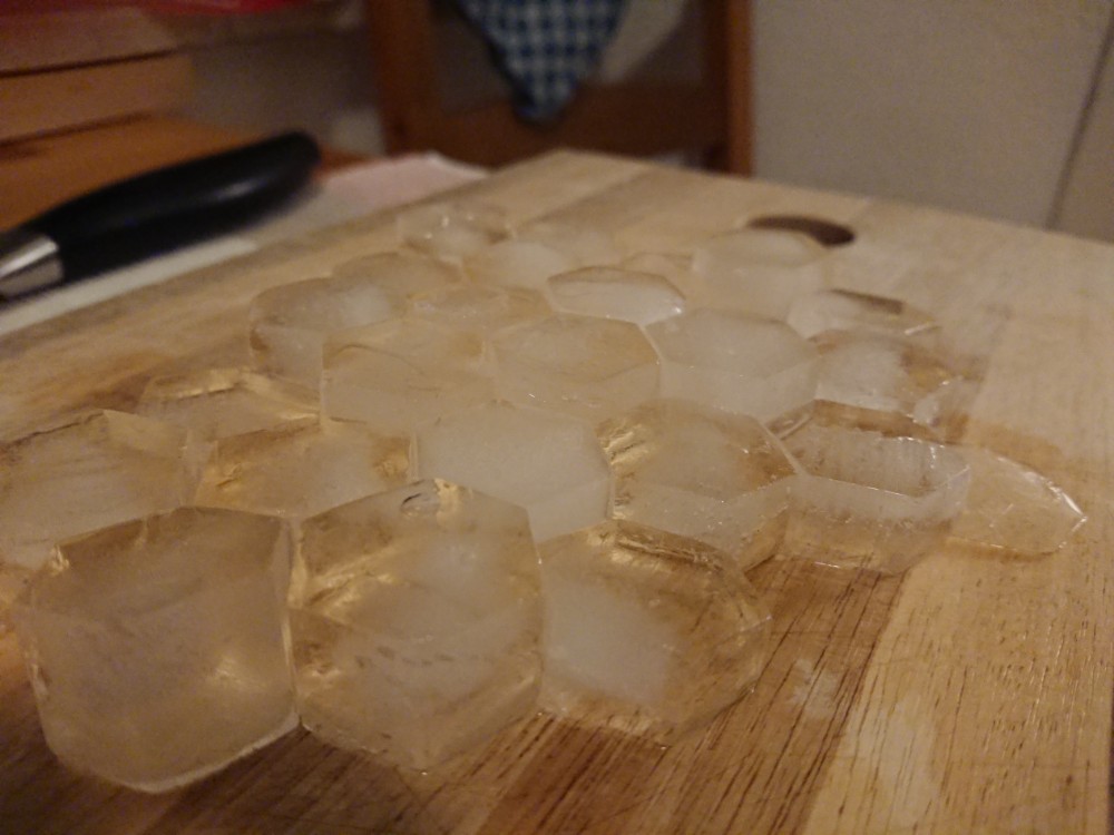
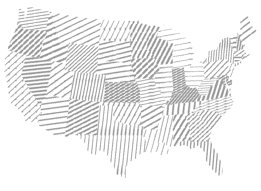
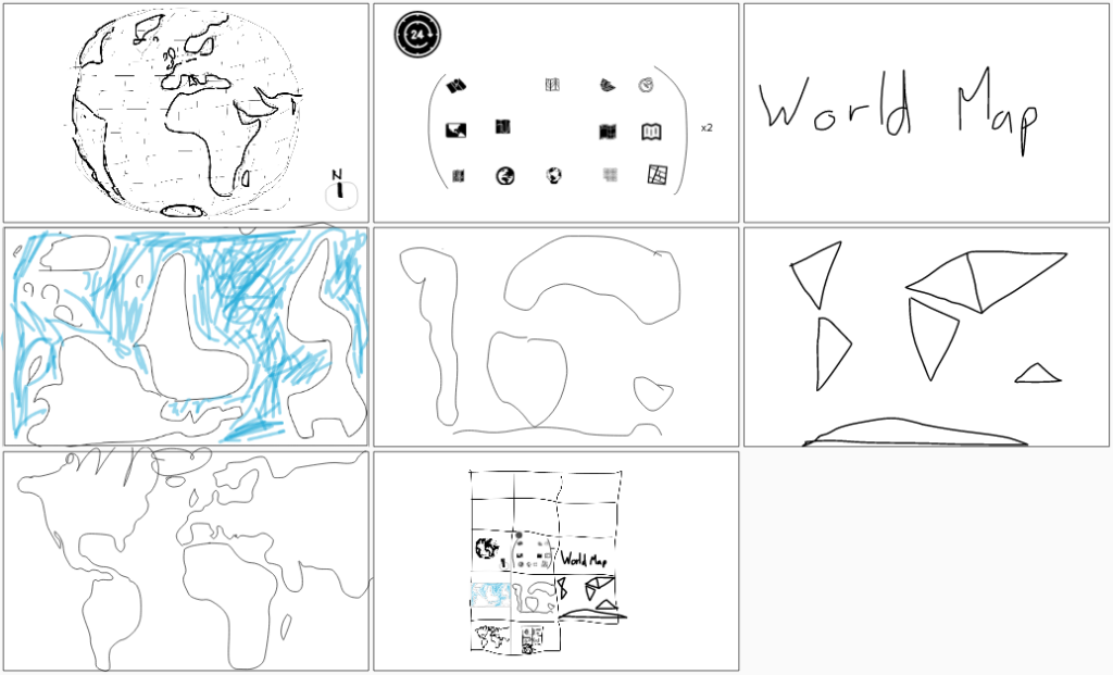
Not sure why I never posted this last year but I did the #30DayMapChallenge in a single day, streamed live via a self-hosted Owncast instance. It was … insane and fun. This year I will do it again, on the 26th of November.

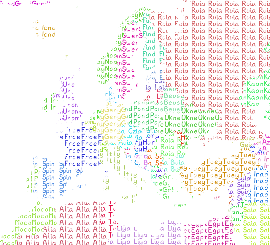
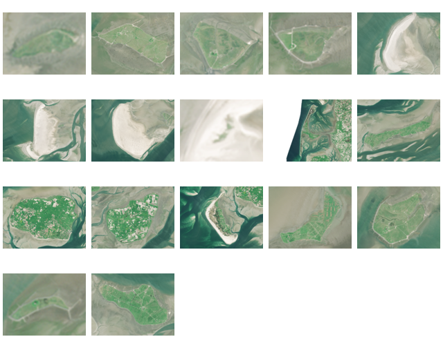
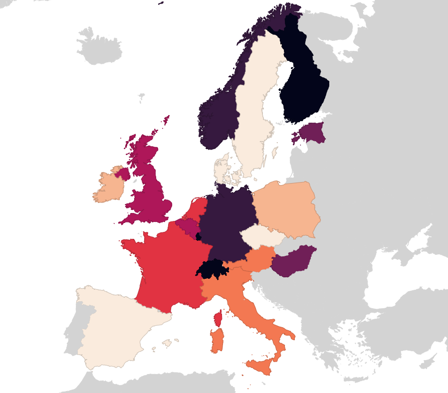
Here are most of the maps I made last year:
Some notes I kept, please bug me about recovering the others from my Twitter archive (I deleted old tweets a bit too early):

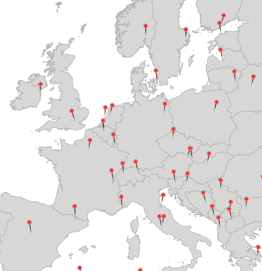
  • 1 Points: Pins via Geometry Generator in QGIS
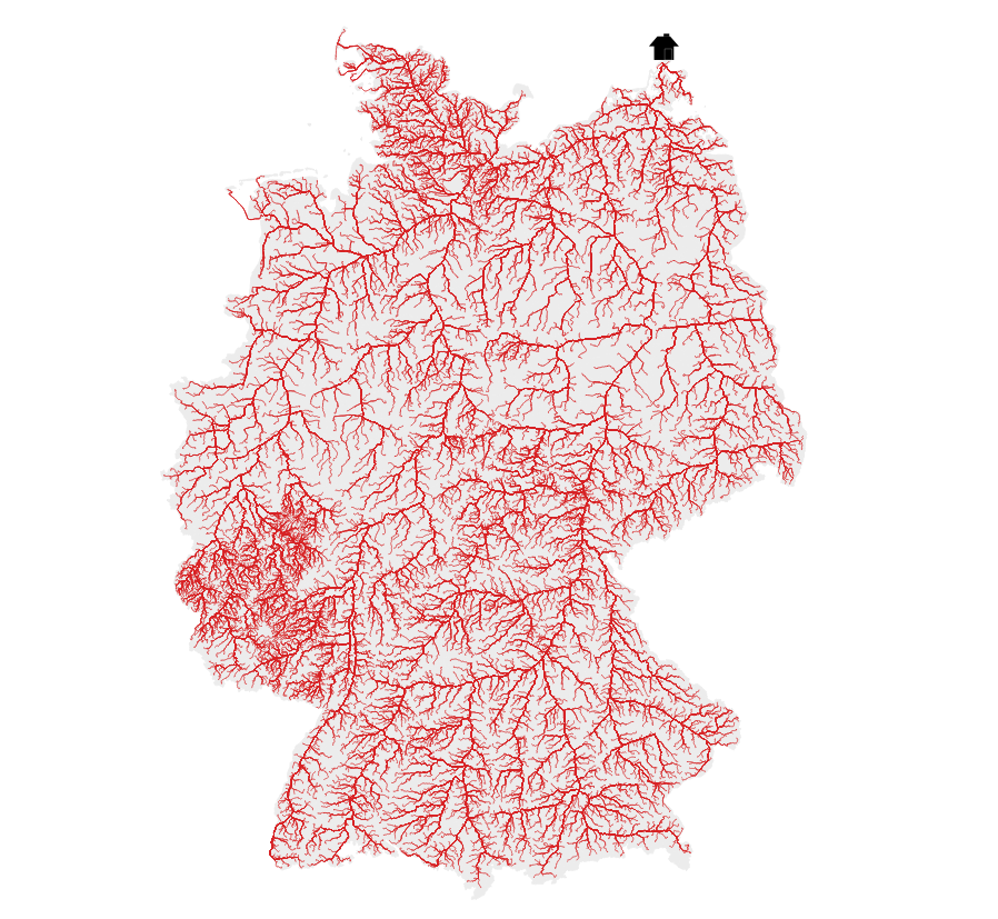
  • 2 Lines: River elevation profiles of Elbe, Rhein, Ems, Weser, Donau and Main. DEM: © GeoBasis-DE / BKG (2021)
  • 13 NaEr I mean Natural Earth (Blame @tjukanov)
  • 18 Water (DGM-W 2010 Unter- und Außenelbe, Wasserstraßen- und Schifffahrtsverwaltung des Bundes, http://kuestendaten.de, 2010)
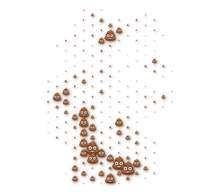
  • 20 Movement: Emojitions on a curvy trajectory. State changes depending on the curvyness ahead. Background: (C) OpenStreetMap Contributors <3
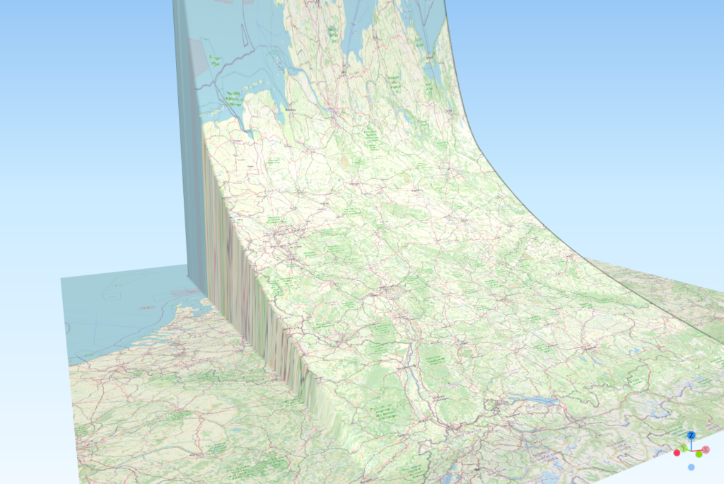
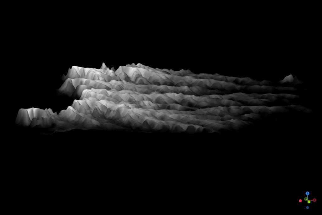
  • 21 Elevation with qgis2threejs (It’s art, I swear!
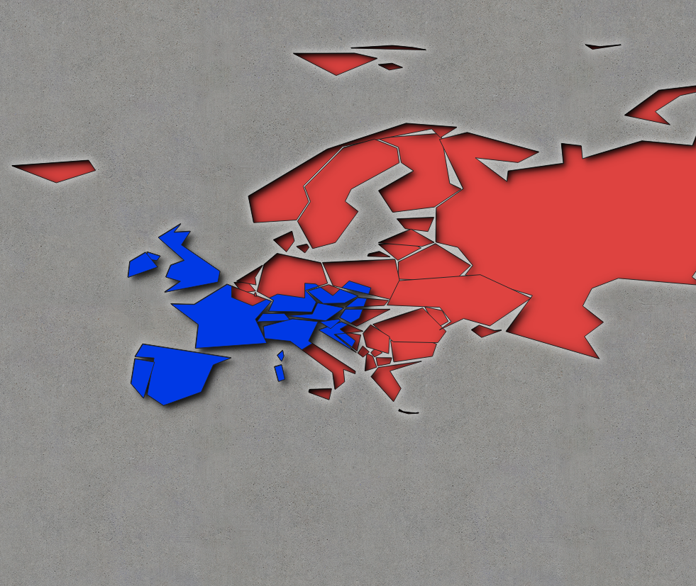
  • 22 Boundaries: Inspired by Command and Conquer Red Alert. Background by Spiney (CC-BY 3.0 / CC-BY-SA 3.0, https://opengameart.org/node/12098)
  • 24 Historical: Buildings in Hamburg that were built before the war (at least to some not so great dataset). Data Lizenz: Datenlizenz Deutschland Namensnennung 2.0 (Freie und Hansestadt Hamburg, Landesbetrieb Geoinformation und Vermessung (LGV))
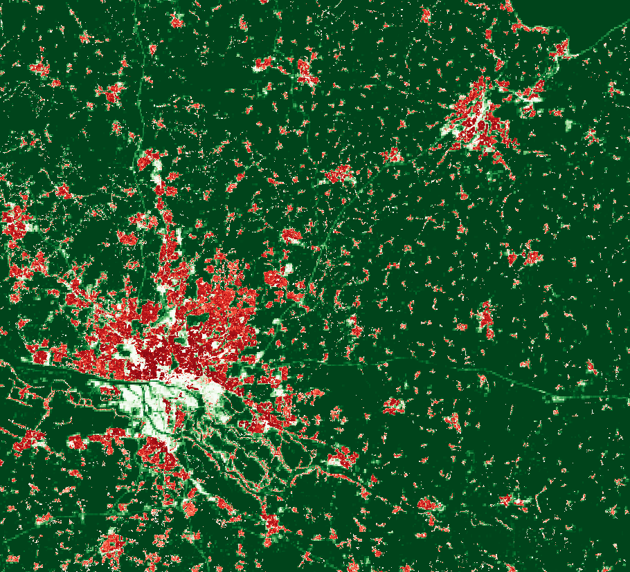
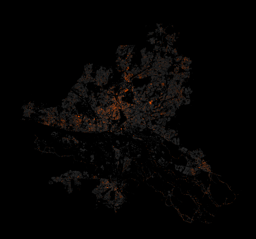
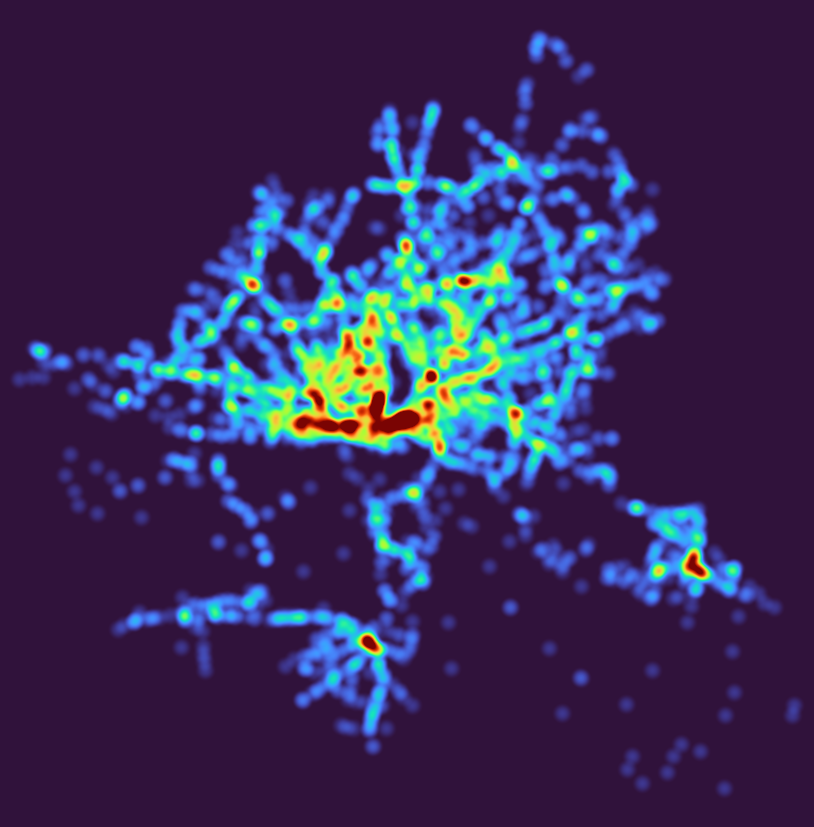
  • 27 Heatmap: Outdoor advertisements (or something like that) in Hamburg. Fuck everything about that! Data Lizenz: Datenlizenz Deutschland Namensnennung 2.0 (Freie und Hansestadt Hamburg, Behörde für Verkehr und Mobilitätswende, (BVM))
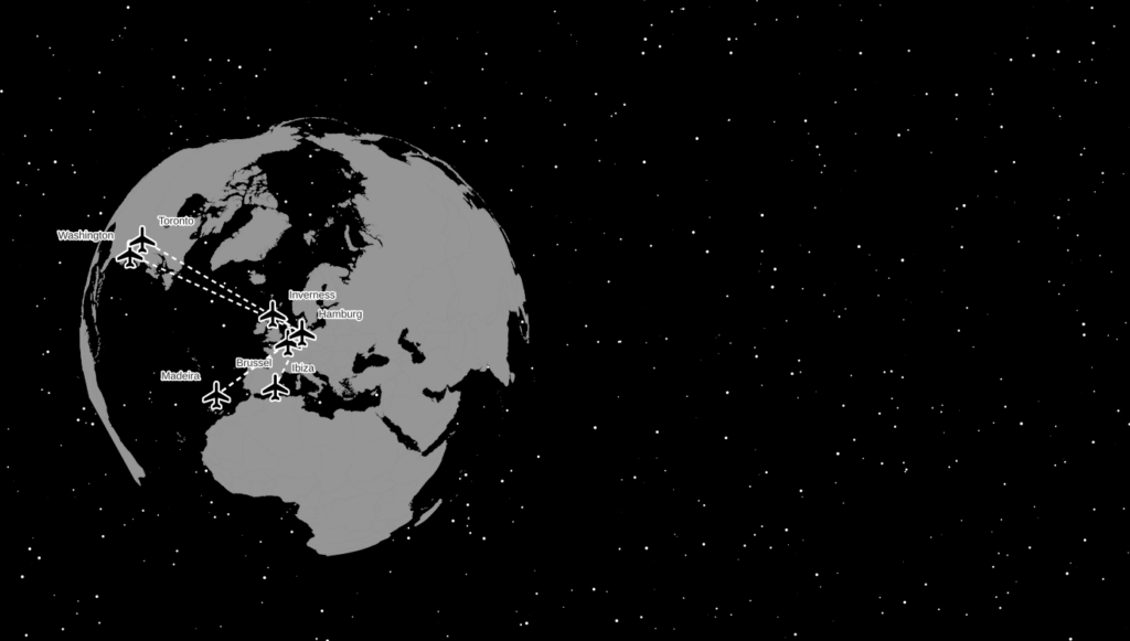
  • 28 Earth not flat. Using my colleague’s Beeline plugin to create lines between the airports I have flown too and the Globe Builder plugin by @gispofinland to make a globe.

How to get a dataset out of OpenStreetMap (OSM) and into QGIS easily

For small datasets just use the QuickOSM plugin, enter your key=value and it will load the data directly as QGIS layer(s).

For big datasets don’t run massive queries on the Overpass API but use prepared thematic or regional OpenStreetMap extracts.

For example, if you want all things tagged place=town globally, grab place_EPSG4326.zip from http://download.osmdata.xyz/ and run a filter on that locally.

Don’t be scared of processing a global OSM planet file either, Osmium makes filtering OSM data extremely easy:

osmium tags-filter in.osm.pbf n/place=town -o place=town.osm.pbf

Yes, a planet file is pretty big, but extracting specific features from that is not a big data problem and you must not be scared of it. Downloading the file will probably take you magnitudes longer than extracting something from it. For me it was 45 minutes for the download, then about 8 minutes for extracting on a seriously slow (~60MB/s) spinning metal hard disk drive (no SSD).

And yes, you can load OSM PBF directly into QGIS thanks to GDAL’s support for the format.

While we are at it: Don’t use GeoJSON for anything but data transfer and maybe storage. It is not an efficient format to power your layers and GIS analyses. (OSM PDF isn’t either.)

(Not) Solving #quiztime with a spatial relationship query in Overpass-Turbo

I saw a #quiztime on Twitter and it looked like a perfect geospatial puzzle so I had to give it a try: https://twitter.com/Sector035/status/987631780147679233

So we have something called “Lidl” which I know is a supermarket. And we have something else, with a potential name ending in “nden”. And that’s it.

If you have a global OSM database, this would be a simple query away. If you don’t have a global OSM database, the Overpass API let’s you query one. And overpass turbo can make it fun (not in this case though, I had a lot of trial and error until I found these nice examples in the Wiki).

I ended up looking for things within 50 meters to a Lidl named “-nden”

[out:json][timeout:180][maxsize:2000000000];

{{radius=50}}

node[name="Lidl"]->.lidls;

( 
   way(around.lidls:{{radius}})["name"~".*nden$"];
  node(around.lidls:{{radius}})["name"~".*nden$"];
);

(._;>;);  // whatever? 

Too far away from the Lidl.

But driving around the place in Google StreetView I could not find the spot and it does not look very much like the photo.

So I guess my query is fine but either the "thing" or the Lidl are not in OSM yet.

Oh well, I did learn something new (about Overpass) and it was fun. :)